Ohrid is known as Balkan and European Jerusalem, as the "City of Light", a literal translation of its old name, Lychnidos
Geographic position of Ohrid
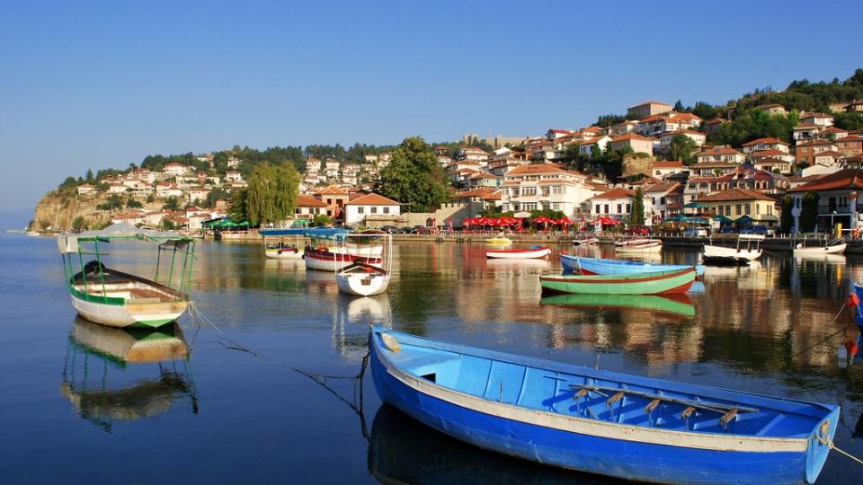
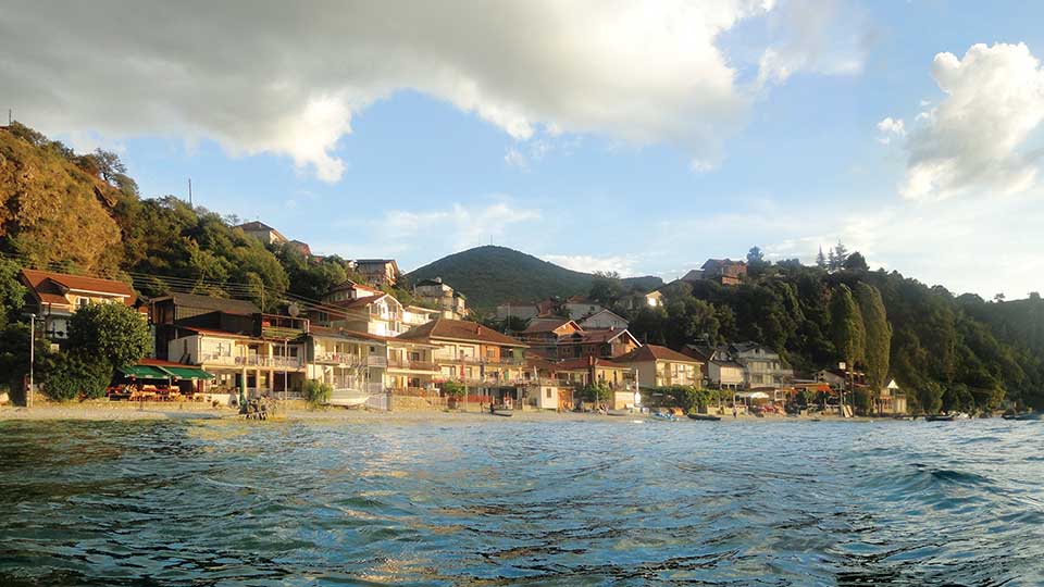
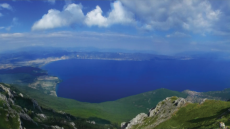
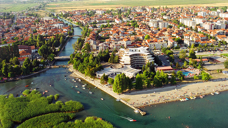
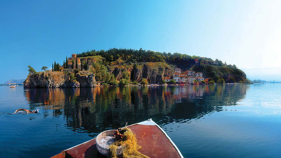
Ohrid is a city in the southwestern part of Macedonia, on the northeast coast of Ohrid lake. Ohrid and Lake Ohrid are one of the main tourist destinations in Macedonia. This city is located in the southwestern part of Macedonia, on the north-eastern coast of the Ohrid Lake. In terms of traffic it is linked to roads leading to Skopje, Bitola, Debar and Republic of Albania.
The old road Via Egnatia, linking the Adriatic and the White Sea, also passed in its vicinity, which was an important circumstance for the development of Ohrid in the past. Near the city is the Ohrid Airport , through which air traffic takes place with certain destinations outside the Republic of Macedonia. Traffic on the waters of the Ohrid Lake is of little importance. It is used in the function of fishing and for tourist purposes. The only disadvantage is the absence of rail traffic.
History of Ohrid's name
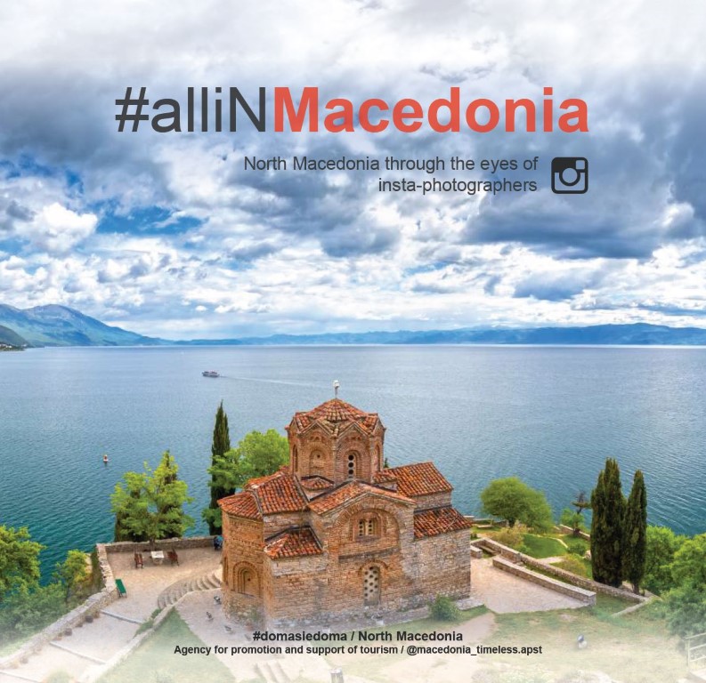
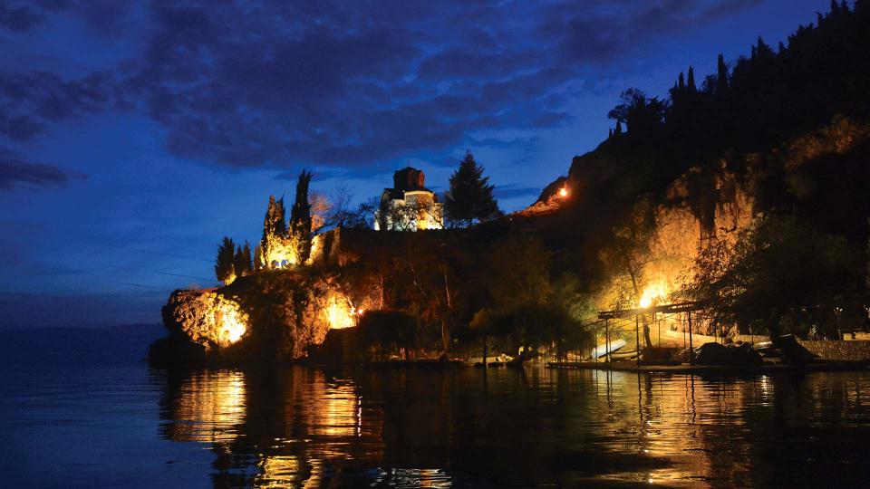
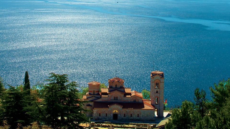
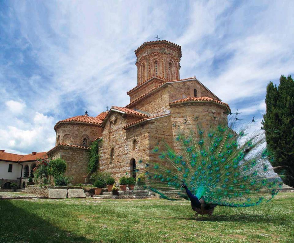
Due to the large number of churches and monasteries, the city of Ohrid is known as Balkan and European Jerusalem. It is also known as the "City of Light", a literal translation of its old name, Lychnidos. The Ohrid region is included in the UNESCO World Heritage. According to one legend, written by the Miladinov Brothers, when the Ohrid fortress was made, Emperor Justinian climbed the hills on which the city lies, and, looking at the beautiful surroundings, exclaimed "oh-hill", which means - a beautiful hill. Since then, the city is called Ohrid. Modern Ohrid is the heir of the ancient Lychnidos. According to the data, the city was first mentioned 2,400 years before the new era. Lihnidos was on the Via Egnatia road, the oldest and most significant Roman traffic route in the Balkans.
Historical data for Ohrid
As early as in the second half of the 8th century the Ohrid region became an attractive area for the Bulgarian state. During the Bulgarian tsar Boris I Mihail, the Macedonian territories in a military-administrative respect were included in several "komitats". Ohrid was in the komitat which covered the Ohrid - Devol areas. In 886, Clement, after a short stay in the Bulgarian court, was sent to Macedonia with an important state mission. As a teacher and bishop Clement together with Naum laid the foundations of the so-called Ohrid glagolic literary school. Owing to the activities of Clement and Naum, the city of Ohrid, in the second half of the 9th century, became a Slavic cultural centre, and the emperor Samuil converted it into a religious centre and the capital of the kingdom. His fortresses still stand high above the city today.
Samuil's Fortress in Ohrid
The shape of the Samuil’s Fortress dates back to the time of Samuil, although there are also data about demolitions and repairs of the fortress by the Turks and Byzantines. It features walls with a height of 10 to 16 metres and a thickness of several metres. On all sides, with the exception of the south, which is facing the lake, the hilly part of the city was protected by high walls and towers, three kilometres long, near the port of Ohrid. With its fortifications and walls it covers the entire Ohrid Hill. Today, 18 towers and four gates are preserved on the fortress. Parts of the fortress extend to the lake and to the lower hill of the old part of Ohrid. In the old part of the city, there were three gates, from which only the Upper Gate was preserved. Many stones with Greek inscriptions are built in its walls. Under a partially demolished outer layer in the inner walls, horizontal layers of bricks of Byzantine format are noted.
Beaches on the Ohrid Lake
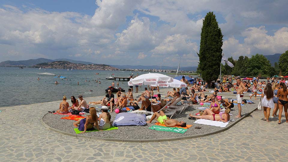
Along the city beaches in Ohrid and Struga, on the line from Ohrid to St. Naum stretches the Ohrid Riviera. famous for its natural lakefront :
Beach Gorica
- 4 km from Ohrid
- Beach surrounded by high rocks
- Ideal view of the whole Ohrid riviera
Beach Slavija
- 4 km from Ohrid, in the area of Sveti Stefan
- One of the most frequent beaches, arranged and clean
- The biggest attraction is the 75-meter toboggan
Metropol and Bellevue
- 8 km from Ohrid, 100 m from the lake
- Two hotels with modern equipped rooms with lake view
- Sports fields, bowling alley, swimming pools, conference room, sauna, heliotherapy, casino, fitness
Lagadin
- The longest beach - 285 metres
- Various snow parties are organized - foam, rain and balloons
- With a special place for parking of scooters and motorboats
Eleshac
- Autocamp 10 km from Ohrid
- 700 beds in bungalows and camp - trailers
- Possibility of stay in one’s own camp - caravans and tents
Ohrid trout
Ohrid trout (scientifically Salmo letnica) - endemic freshwater fish that lives in Ohrid Lake, and belongs to the family of trout. One of the endemic species, a freshwater fish in Europe and is the closest ancestor of the species that lived in this area since the Tertiary. It differs from the stream trout by the flattened body, the small head and the stary grey spots on the body. The colour of the meat in some of them is white, and in some pink. The maximum length ranges from 25 to 60 cm, and the maximum weight is up to 15.8 kg. The crossbreeds created by crossing the stream and Ohrid trout along the body have alternately red circular and gray stellar spots like the letnica. Ohrid trout is tasty to eat. As one of the trademarks of Macedonia, it is also found on Macedonian coins. There are more than 200 species of endemic organisms in Ohrid Lake, some of which are unchanged from the time of the tertiary. These are the four types of sponges, the most famous of which is the endemic round sponge, the rare snail species, and the relict algae species. And, one of the most specific plants is the underwater plant "Hara". In addition, the city and the lake are protected as a natural and cultural treasure by UNESCO.
Bay of Bones in Ohrid
This is actually a reconstructed prehistoric pile settlement from the 12th-7th century BC, placed above a platform held by wooden piles. It is the newly opened water museum, where the remains of an ancient habitat, a diving base and reconstructed fortresses from the Roman Empire from the 2nd century are located in the water.
At this site, at a depth of three to five metres, remains of 6,000 wooden piles were found, which probably relied on a common platform with 20 wooden houses. According to the surveys, the area of the settlement extended to 8,500 m2. Given that they were built of trees, reeds and mud, the habitats were susceptible to fires and were frequently renewed, due to the large density of the piles (remains of burnt wood and coal were found). The platform with the mainland was connected with a movable bridge, which during the night was raised for the protection of animals and enemies. Currently a part of the settlement, with seven houses built on a platform that has been installed over 1,200 piles prepared to be more resilient and more durable has been reconstructed. The interior of the houses has also been reconstructed, which offers an interesting experience for the way of life at that time.


